Urban
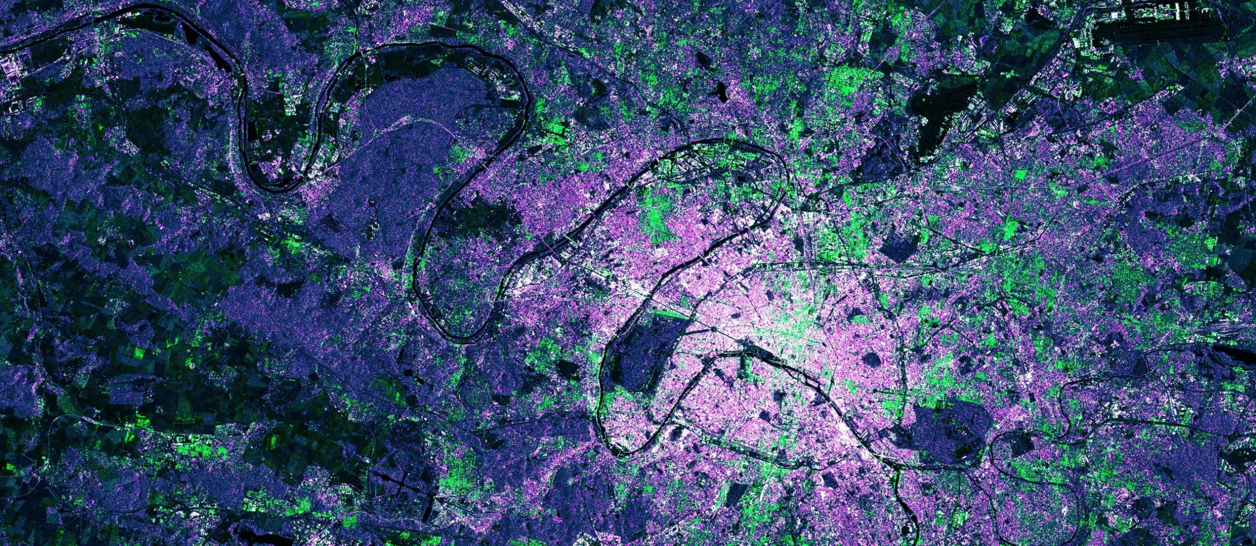
With more than a quarter of the European Union territory directly covered by urban land use, the management of urban areas is a key component of any sustainable development policy.
Copernicus can support local and regional authorities by information on land use and land cover classification, urban growth, urban green areas, imperviousness, etc.
EvoLand is working to improve the monitoring frame rate of urban dynamics by incorporating novel automation methods and to upgrade the existing Imperviousness products by applying continuous monitoring techniques.
Access the URBAN excerpt of the Navigating the future of land monitoring webinar series below to learn more:

Discover prototype services to support urban mapping & planning
C8 – Continuous imperviousness monitoring
Constant monitoring of artificially sealed areas including the level of sealing of the soil per area unit.
C9 – Automated land use mapping of urban dynamics
Combining Machine Learning (ML) with optical Earth Observation (EO) data to automatically detect and characterize urban changes.
Newsletter
Stay current! Subscribe to our EvoLand newsletter!