C3 – Forest biomass mapping
High-Resolution Layer (HRL) Vegetated Land Cover Characteristics (VLCC) with spatiotemporally consistent estimates of above-ground woody biomass (AGB) and Forest Canopy Height (FCH).
Methods
Domain
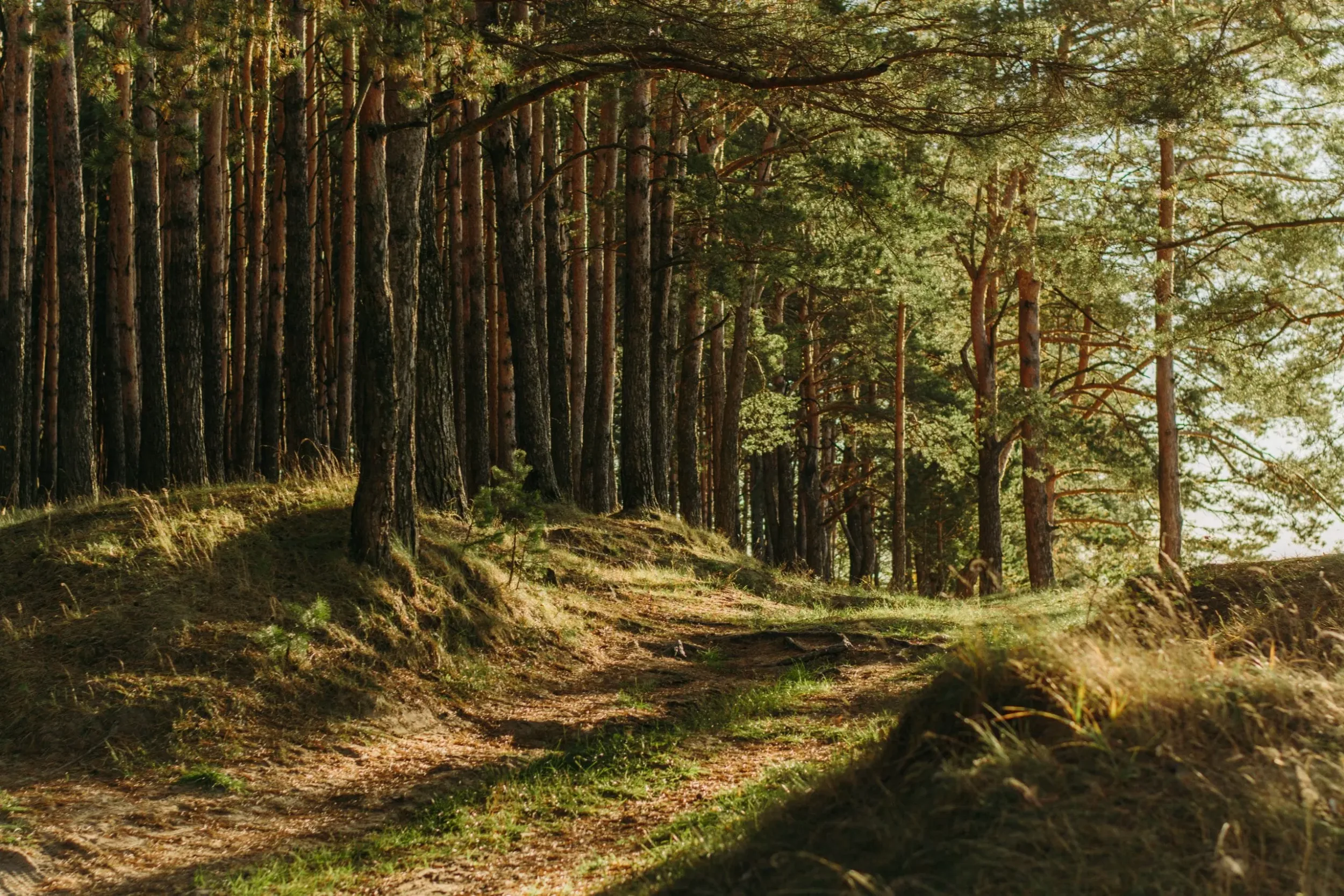
This EvoLand candidate service aims to complement the HRL VLCC portfolio with spatiotemporally consistent estimates of above-ground woody biomass (AGB) and forest canopy height (FCH). Data and services from new EO missions such as LiDAR-based GEDI and MOLI or the dense time series of NISAR as pre-cursor to ROSE-L and BIOMASS P-Band for the tropical forests mission will be exploited. The combination of parametric and non-parametric models will allow for AGB to be estimated at a pixel level and aggregated based on stakeholder requirements. Estimation of biomass loss due to disturbance events will be demonstrated in selected sites.

Newsletter
Stay current! Subscribe to our EvoLand newsletter!