Efficiency, quality and timeliness
Efficiency, quality and timeliness
Efficiency, quality and timeliness
Evolution of the Copernicus Land Monitoring Service
EvoLand will develop twelve new product candidates for Copernicus Land Monitoring Service (CLMS), through innovative approaches in data fusion, continuous monitoring, AI and biomass mapping, as well as through the integration of novel EO and in-situ data.
Methods
EvoLand will develop new methods to transform traditional land cover maps (status and change at multi-year intervals) towards continuous monitoring of land cover dynamics. These methods include change detection techniques on surface reflectance/backscatter time series, as well as continuous mapping of land surface characteristics.
Thematic domains
The 12 CLMS candidate prototype services are looking to address challenges across five domains.

Agriculture
Supporting agribusiness actors ranging from policy makers to farmers with cutting edge Copernicus products.

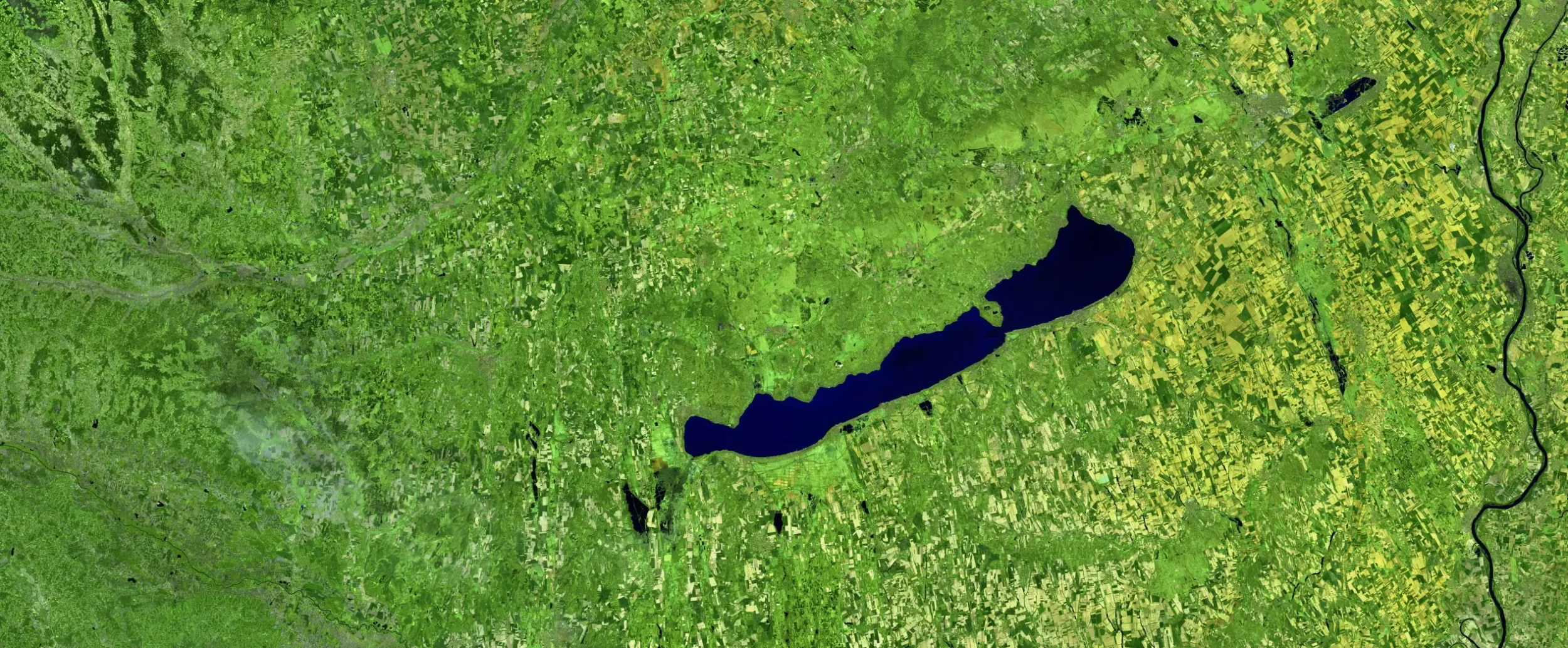
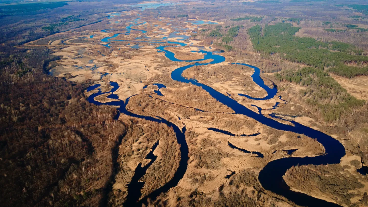
Water
Finer spatial resolution for improved water mapping and sound decision-making.

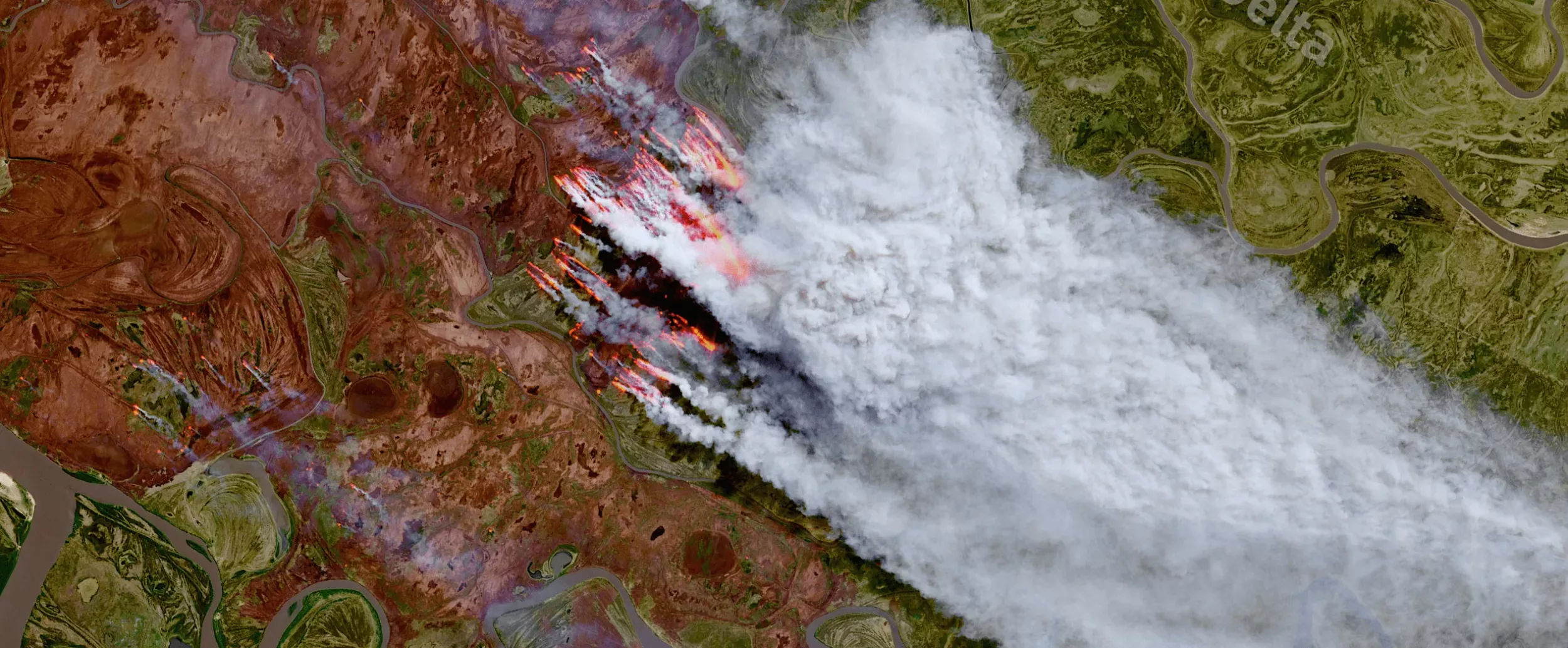
Forest
New and upgraded Copernicus products to support EU Forest and Biodiversity Strategies for 2030.

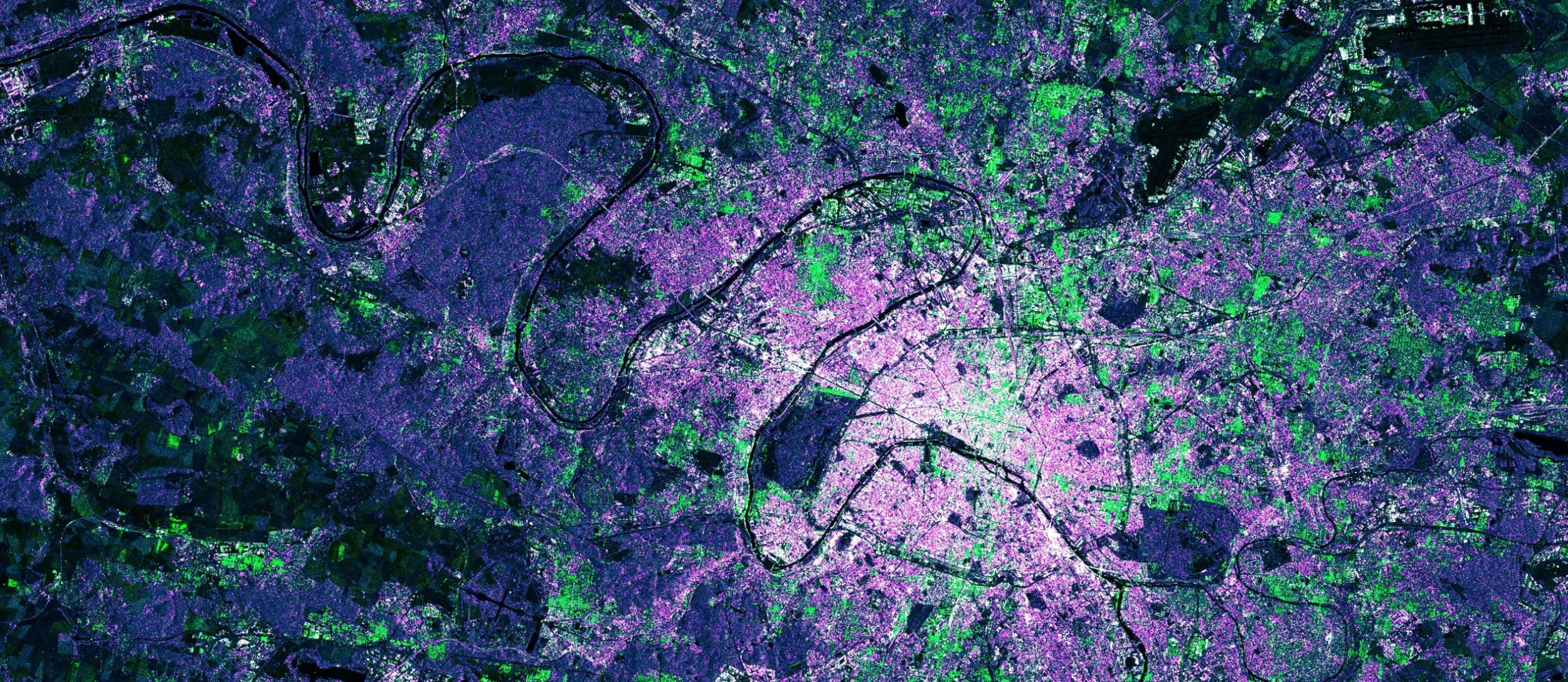
Urban
Frequently updated urban mapping for sustainable and efficient planning

General land cover
Continuous and on-demand land cover mapping at a finer resolution to support EU and international policies.
Discover
12 CLMS
prototypes
Newsroom
Welcome to EvoLand newsroom. Here you will find the latest news, publications, and materials.
 What EvoLand leaves behind: open resources for Earth Observation and Land Monitoring
What EvoLand leaves behind: open resources for Earth Observation and Land Monitoring
After three years of collaboration, innovation and research, the EvoLand project has reached its conclusion. During the final...
 EvoLand’s new STAC Catalogue: Open data for exploring planetary change
EvoLand’s new STAC Catalogue: Open data for exploring planetary change
If you’ve ever tried to piece together from academic publications how our planetary landscapes are shifting — from forests...
 Unveiling EvoLand’s final results: live webinar on 4 December 2025
Unveiling EvoLand’s final results: live webinar on 4 December 2025
Join EvoLand for an interactive webinar showcasing the project’s latest achievements in land monitoring. The session will...
 Super-Resolution Satellites: how AI reveals the details of Sentinel-2
Super-Resolution Satellites: how AI reveals the details of Sentinel-2
Super-resolution satellites are changing how we extract information from Earth observation data. While ESA’s Sentinel-2...
Newsletter
Stay current! Subscribe to our EvoLand newsletter!