
C7 – Improved water bodies mapping
Finer resolution for water bodies and water networks by means of novel EO-data and super resolution.
Methods
Domain
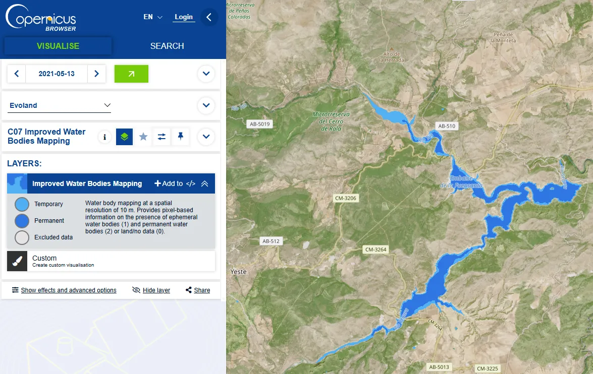
The area of water bodies is identified as an Essential Climate Variable (ECV) by the Global Climate Observing System (GCOS). To extend actual products (Copernicus High-Resolution Layer Water and Wetness; Copernicus Global Land Monitoring Water Bodies), we propose to map water bodies extent and water network at a finest resolution (<10m) using new EO data (SWOT, cf. T2.1) and super-resolution techniques (T2.3) to better characterize water resource and water dynamics in different kind of landscapes (crop, urban, mountains, forest).
Newsletter
Stay current! Subscribe to our EvoLand newsletter!