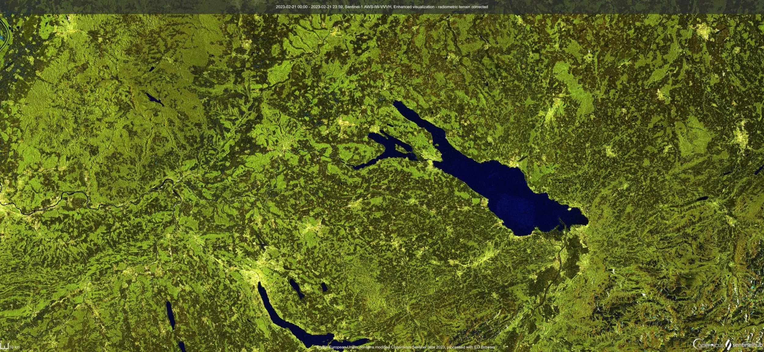
Biomass mapping
Mapping of Above-Ground Biomass (AGB) and Gross Primary Production (GPP, total influx of carbon into an ecosystem through photosynthesis) is of paramount importance to assess global carbon stocks and their changes. To address the urgent need for AGB mapping, several recent and upcoming EO missions are specifically designed for biomass assessment such as e.g., ESA’s BIOMASS and ROSE-L, NASA’s GEDI and NISAR, and JAXA’s MOLI and ALOS-2 and -4 missions.
For forest AGB mapping, EvoLand will develop methods for consistent, wall-to-wall spatio-temporal mapping of above-ground woody biomass and forest canopy height (FCH), as input for the forest prototypes. Additionally, EvoLand will also develop high-resolution GPP data (10-daily, 10m) for grassland and cropland, currently non-existing over Europe, based on the Copernicus DMP (Dry Matter Production) algorithm adapted for Sentinel-2 HR-VPP data.
Discover prototypes that use biomass mapping
C3 – Forest biomass mapping
High-Resolution Layer (HRL) Vegetated Land Cover Characteristics (VLCC) with spatiotemporally consistent estimates of above-ground woody biomass (AGB) and Forest Canopy Height (FCH).
C5 – Cropland/grassland GPP monitoring
Rolling out high-resolution GPP data (10-daily, 10m) for grassland and cropland, currently non-existing over Europe.
Newsletter
Stay current! Subscribe to our EvoLand newsletter!