Novel in-situ data
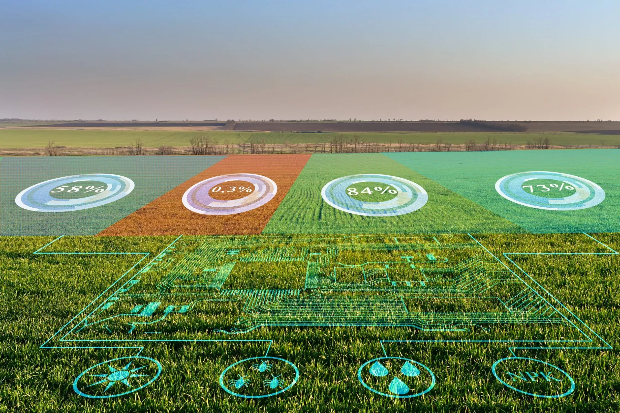
Several in-situ datasets already exist that may be used as primary or ancillary input for WP2 (Methods Development) and WP3 (Prototypes) machine learning developments. Some examples include LUCAS LU/LC field surveys, Geo-Wiki data, citizen observatories, national inventories, land parcel information systems, biomass data, etc. However, for certain topics, datasets are limited, for example, cover crop types or types of forest disturbances. Furthermore, there is no detailed in-situ data information available about recent land cover changes (LCC), and not all in-situ datasets are suited to train the proposed innovative Machine Learning (ML) models. This method will therefore compile existing sources of in-situ data and fill in data gaps where necessary by using novel approaches and tools for training data generation. As a first step, we will collect, process, harmonise, and quality-assess existing resources of reference data sets, encompassing general land cover, biomass, cover crops, and forest disturbance. Spatial and thematic data gaps will be filled using the Geo-Wiki toolbox which was recently updated with a novel tool for the visual interpretation of street-level photography. Obtaining in situ data is expensive and labour intensive, therefore novel approaches will also be developed for automated data generation as input for ML algorithms. A new tool is proposed for collecting LCC information via visual interpretation. This tool will have a user-friendly web interface to access time series from various sources of VHR imagery. Using this tool, IIASA together with trained experts will generate a novel in-situ dataset on LCC over the prototype sites for the period 2020-2022.
Discover prototypes that use novel in-situ data
C4 – Cover crop type mapping
Developing a prototype service to map cover crop types at 10m resolution.
C5 – Cropland/grassland GPP monitoring
Rolling out high-resolution GPP data (10-daily, 10m) for grassland and cropland, currently non-existing over Europe.
C10 – Continuous mapping of land surface categories
Developing continuous mapping of land surface categories at 10m resolution based on Sentinel 1 & 2 data.
C11 – On-demand land cover mapping
Creating a new on-demand land cover mapping service.
Newsletter
Stay current! Subscribe to our EvoLand newsletter!