
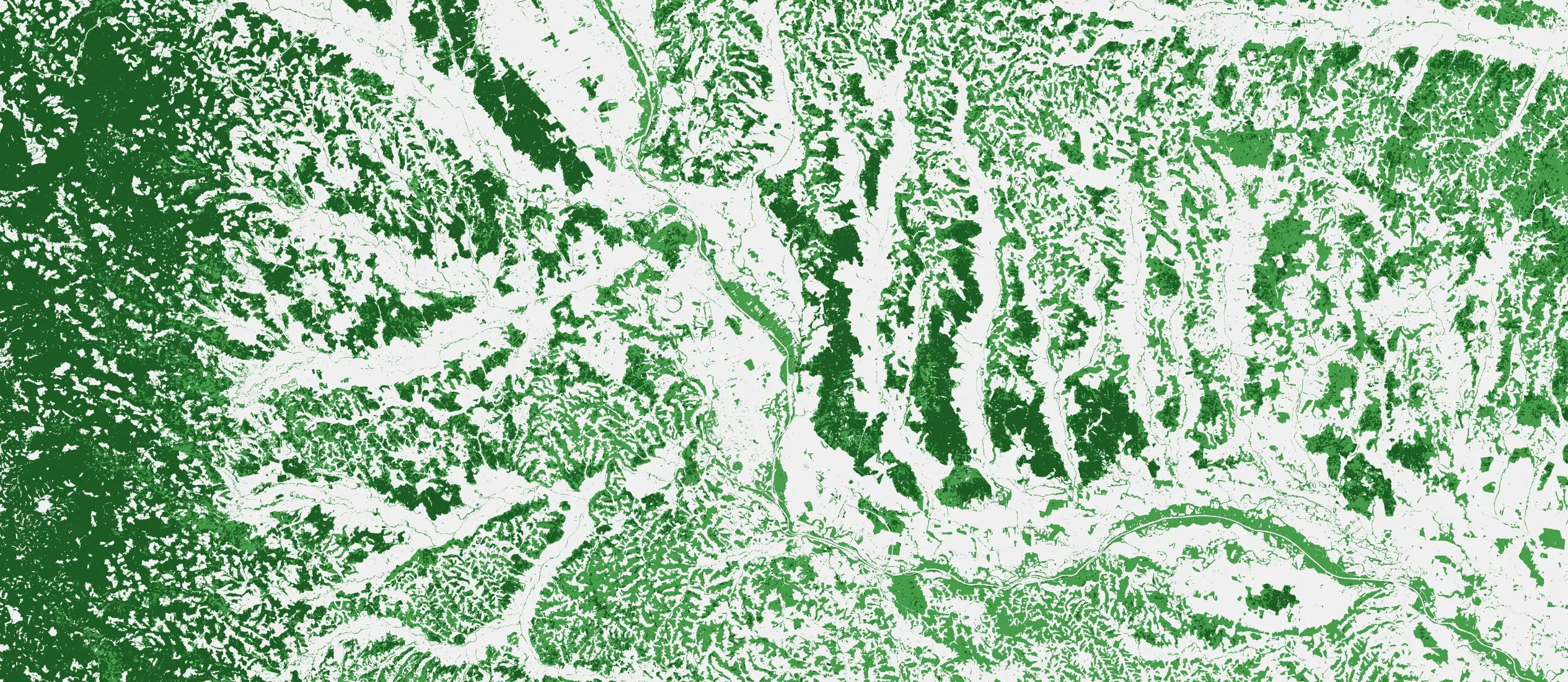
General land cover
Land cover maps represent spatial information on different types (classes) of physical coverage of the Earth’s surface, e.g. forests, grasslands, croplands, lakes, and wetlands. Land Cover and Land Cover change information is used by resource managers, policymakers, and scientists studying the global carbon cycle, biodiversity loss, and land degradation.
EvoLand is developing two CLMS prototypes that will offer downstream users:
- continuous mapping (daily to 10-daily) of land surface characteristics
- on-demand land cover mapping at different spatial resolutions (100m, 10m, 5m) and observation periods
Access the GENERAL LAND COVER excerpt of the Navigating the future of land monitoring webinar series below to learn more:
Discover prototypes services to support continuous and on-demand high-res land cover mapping
C10 – Continuous mapping of land surface categories
Developing continuous mapping of land surface categories at 10m resolution based on Sentinel 1 & 2 data.
C11 – On-demand land cover mapping
Creating a new on-demand land cover mapping service.
Newsletter
Stay current! Subscribe to our EvoLand newsletter!