Water
Near-real-time mapping of water bodies from satellite imagery plays a critical role in water management. Today, scientists and policymakers regularly use data coming from Copernicus satellites to, for example, measure water surface temperature, which can tell us a lot about a lake or river’s overall health.
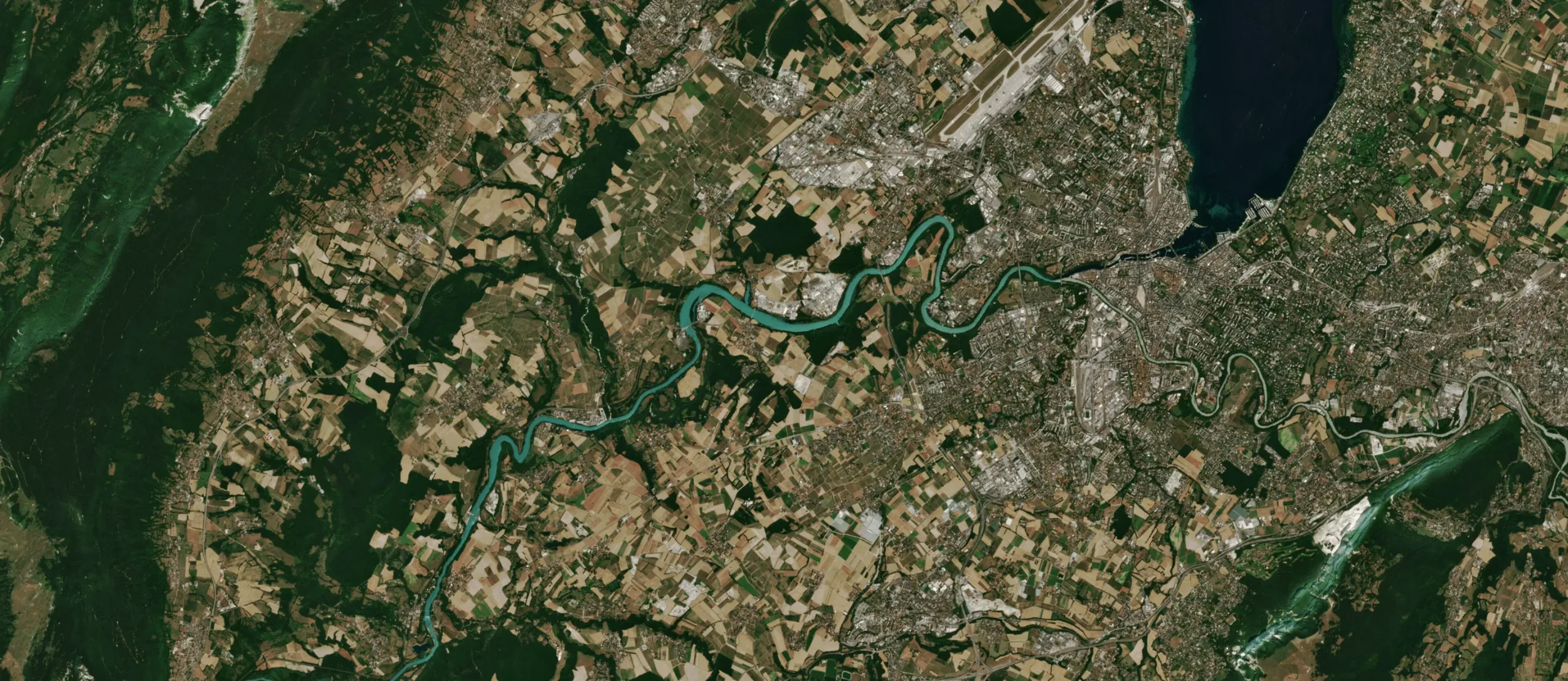
EvoLand suggests new ways to map water bodies extent and water network at a finer resolution (<10m) using new EO data and super-resolution techniques to better characterise water resources and water dynamics in different kinds of landscapes (crop, urban, mountains, forest).
Access the WATER excerpt of the Navigating the future of land monitoring webinar series below to learn more:

Discover prototype services to support water mapping
C7 – Improved water bodies mapping
Finer resolution for water bodies and water networks by means of novel EO-data and super resolution.
Newsletter
Stay current! Subscribe to our EvoLand newsletter!