EvoLand’s new STAC Catalogue: Open data for exploring planetary change
16 Dec 2025
To do that well, EvoLand needs something essential: open, FAIR data — data that is Findable, Accessible, Interoperable, and Reusable. Research thrives on transparency: knowing where a dataset came from, how it was processed, and how it can be reused. EvoLand’s work depends on integrating many data sources — satellite images, in-situ measurements, models, and historical records — and making them future-proof. Without FAIR principles, data remains inside the scientists´ computers, gets lost, duplicated, misinterpreted, or trapped in incompatible formats. This slows progress and limits what scientists and policymakers can complement, discover or build upon.
So EvoLand committed to doing things differently: documenting as many datasets as possible that were used, clarifying how they can be accessed and reused, and ensuring that the structure of their storage would be public in a way that makes sense to both humans and machines. To meet this need, IIASA’s NODES research group built a SpatioTemporal Asset Catalog (STAC) for EvoLand’s datasets.
The SpatioTemporal Asset Catalog (STAC) for EvoLand’s datasets

A STAC is a community standard that makes it easy to store, describe, and find Earth-observation data. IIASA hosts this as a static catalog using lightweight, long-term infrastructure. Data is stored in cloud-optimized formats such as GeoParquet and COGs, which allow users to query data directly in place — no downloads required.
Think of it as a library card catalog for the planet:
– Each dataset becomes a card
– Each card tells you what the dataset contains, where it comes from, when it was recorded, and how to access it
– All cards follow the same, simple structure
The STAC Catalogue includes:
- STAC Items → individual files with place + time information
- STAC Collections → bigger groupings with added detail like spatial extent, licensing, keywords
- STAC API (optional) → for searchable, interactive exploration
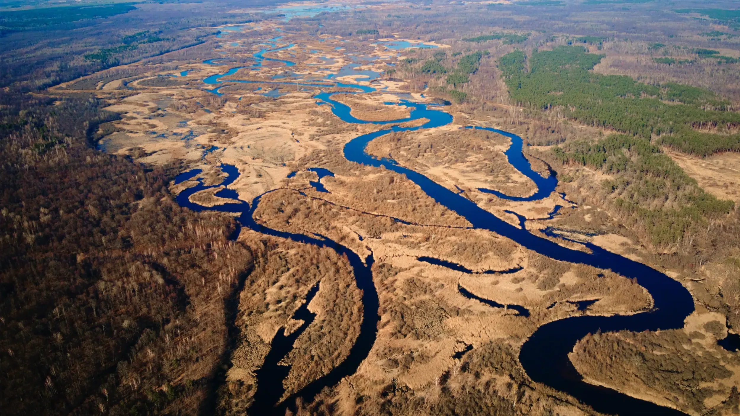
To get a feeling of what the EvoLand STAC catalogue offers, let us look at an EvoLand dataset, Fluxdata’s Gross Primary Productivity (GPP) data —the total amount of carbon fixed by plants through photosynthesis in a given area and time. This dataset supports the Cropland/grassland GPP monitoring prototype, bringing us closer to continuous, accurate GPP monitoring across Europe. This is exactly the kind of dataset that benefits from being FAIR and STAC-organized — easy to find, easy to understand, easy to use.
The EvoLand Fluxdata Gross Primary Productivity (GPP) dataset

The EvoLand STAC Catalogue is more than a technical tool — it’s a foundation for future innovation. As more datasets are added and more prototypes mature, this catalog will become a shared resource for scientists, policymakers, and anyone curious about how our landscapes are changing.
Newsletter
Stay current! Subscribe to our EvoLand newsletter!