
Newsroom
 Transforming approaches to forest biomass estimations
Transforming approaches to forest biomass estimations
Forest biomass is composed of above-ground and below-ground biomass. While the former refers to the total dry mass of living...
 Innovative on-demand land cover services for customised spatial and temporal needs
Innovative on-demand land cover services for customised spatial and temporal needs
The wide range of land cover (LC) products needed by users can best be met by processing systems able to accommodate user-defined...
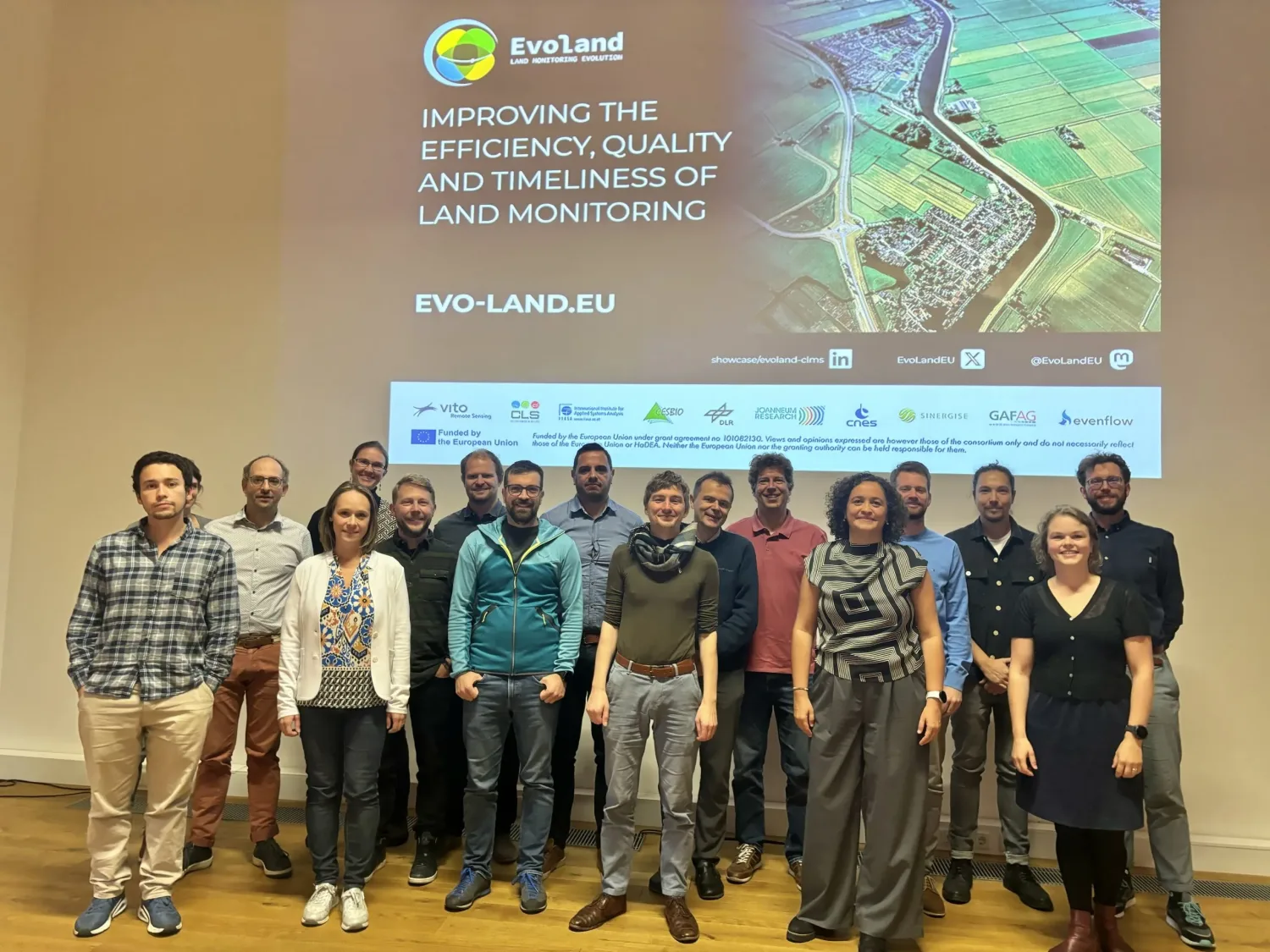 EvoLand launches its second development phase after a successful mid-project meeting
EvoLand launches its second development phase after a successful mid-project meeting
EvoLand has successfully reached the second phase of its development, unveiling significant progress in its mission to support...
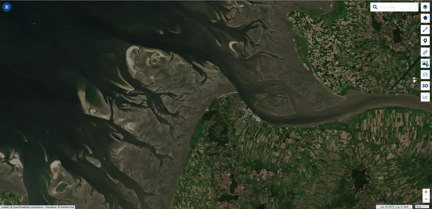 Utilising the power of the Copernicus Data Space Ecosystem to visualise EvoLand project results in no time
Utilising the power of the Copernicus Data Space Ecosystem to visualise EvoLand project results in no time
Projects dealing with Earth Observation data often involve data visualisation. This does not only allow data producers (in...
 EvoLand unveils its 11 Copernicus Land Monitoring Service candidate prototypes at stakeholder consultation event
EvoLand unveils its 11 Copernicus Land Monitoring Service candidate prototypes at stakeholder consultation event
The EvoLand project took a significant step forward at its Stakeholder consultation and Prototype demonstration event on Friday, 14 June 2024. Held in Brussels and accessible online, the event showcased all 11 project's innovative prototypes and provided a platform for key stakeholders to offer their invaluable...
 Shaping the future of CLMS: EvoLand present at the 1st CLMS General Assembly
Shaping the future of CLMS: EvoLand present at the 1st CLMS General Assembly
The EvoLand team was present in Antwerp to participate in the official panels and to showcase how the project is at the heart...
 Improving GPP estimates over cropland and grassland by using the Sentinel-2
Improving GPP estimates over cropland and grassland by using the Sentinel-2
Monitoring the productivity over agricultural areas provides relevant information on the current vigorous growth and is critical...
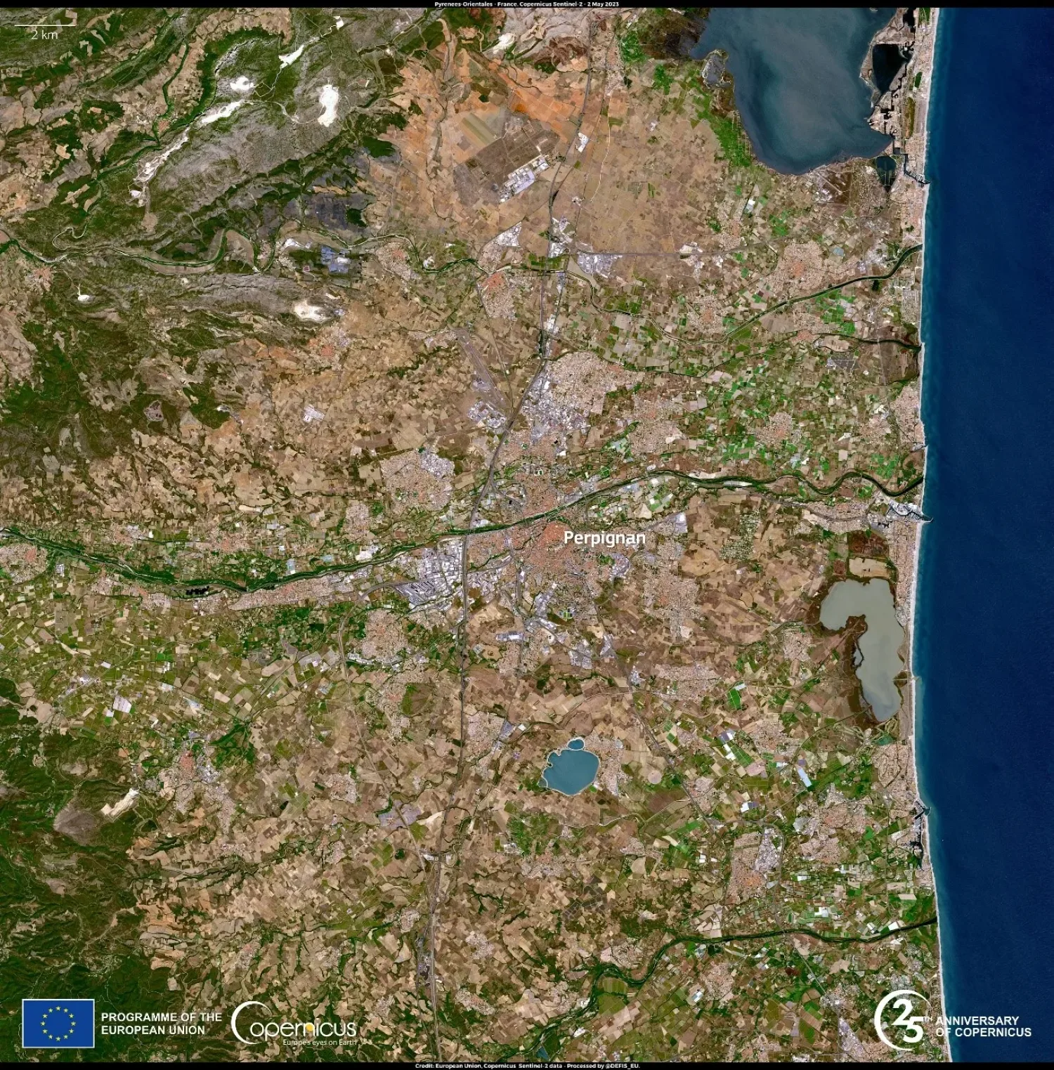
 Automated change detection with annual update for mapping urban dynamics
Automated change detection with annual update for mapping urban dynamics
Continuously monitoring urban landscapes is certainly a challenge. Despite the vast range of data at our disposal, detecting...
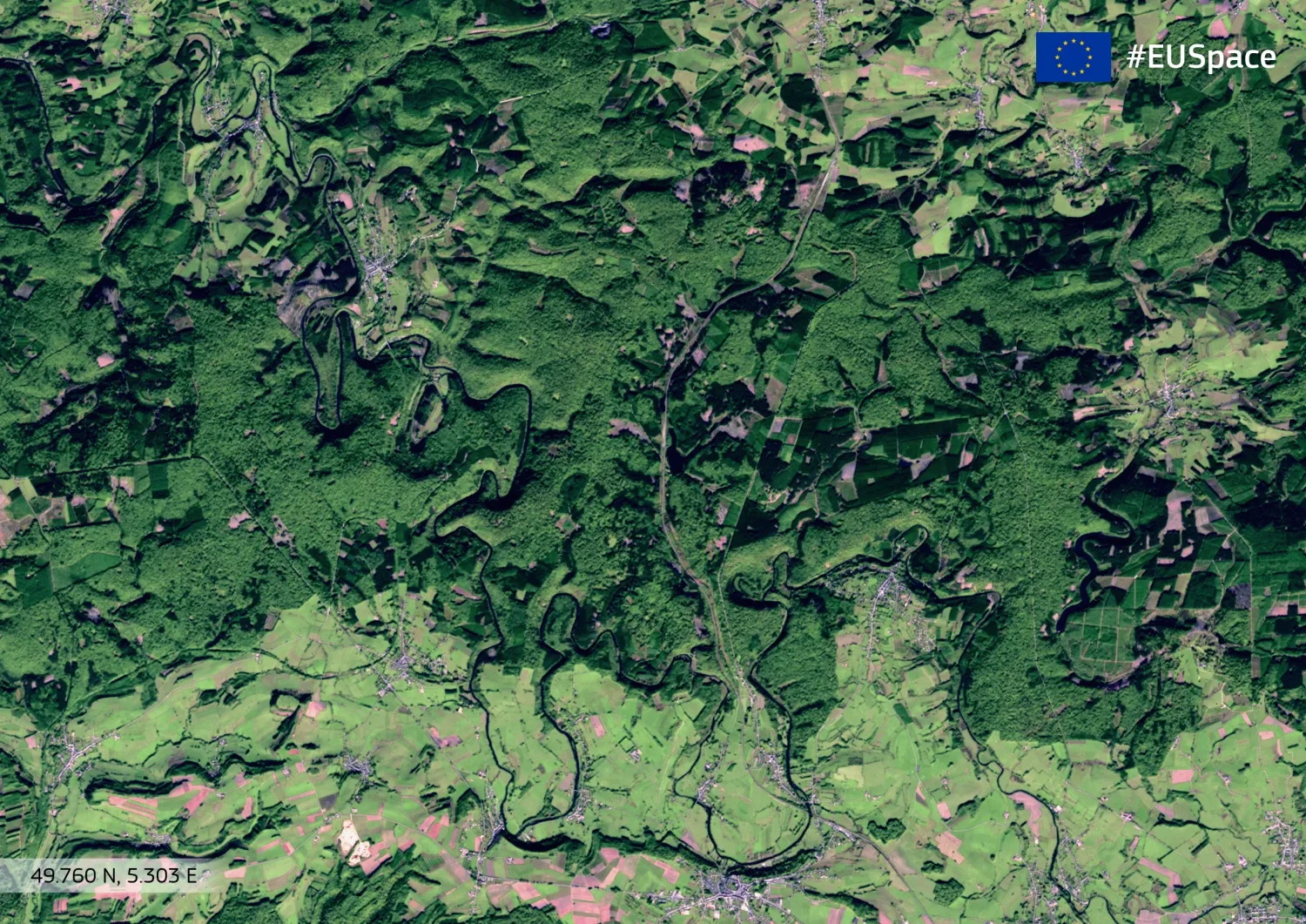
 Innovating land cover monitoring by complementing annual land cover maps with near real-time observations
Innovating land cover monitoring by complementing annual land cover maps with near real-time observations
Traditional global land cover datasets provide yearly updates but lack real-time monitoring. The EvoLand prototype introduces...
Multimedia Content
Brochure
Poster
Roll up banner
Scientific poster
EvoLand Brandbook
EvoLand final event banner
EvoLand Results Portal teaser video
Publications
Decoupling Common and Unique Representations for Multimodal Self-supervised Learning
Multilabel-Guided Soft Contrastive Learning for Efficient Earth Observation Pretraining
CromSS: Cross-modal pretraining with noisy labels for remote sensing image segmentation
SpectralEarth: Training Hyperspectral Foundation Models at Scale
Multispectral to Hyperspectral using Pretrained Foundational model
Temporal Attention Multi-Resolution Fusion of Satellite Image Time-Series, applied to Landsat-8 and Sentinel-2: all bands, any time, at best spatial resolution
Revisiting remote sensing cross-sensor Single Image Super-Resolution: the overlooked impact of geometric and radiometric distortion
Press releases
From research to results – EvoLand concludes its three-year journey in land monitoring innovation with an open invitation to all
EvoLand launches its second development phase after a successful mid-project meeting
EvoLand sets off to develop new Copernicus Land Monitoring Service
Newsletter
Stay current! Subscribe to our EvoLand newsletter!