
Newsroom
 EvoLand’s new STAC Catalogue: Open data for exploring planetary change
EvoLand’s new STAC Catalogue: Open data for exploring planetary change
If you’ve ever tried to piece together from academic publications how our planetary landscapes are shifting — from forests...
 Unveiling EvoLand’s final results: live webinar on 4 December 2025
Unveiling EvoLand’s final results: live webinar on 4 December 2025
Join EvoLand for an interactive webinar showcasing the project’s latest achievements in land monitoring. The session will...
 Super-Resolution Satellites: how AI reveals the details of Sentinel-2
Super-Resolution Satellites: how AI reveals the details of Sentinel-2
Super-resolution satellites are changing how we extract information from Earth observation data. While ESA’s Sentinel-2...
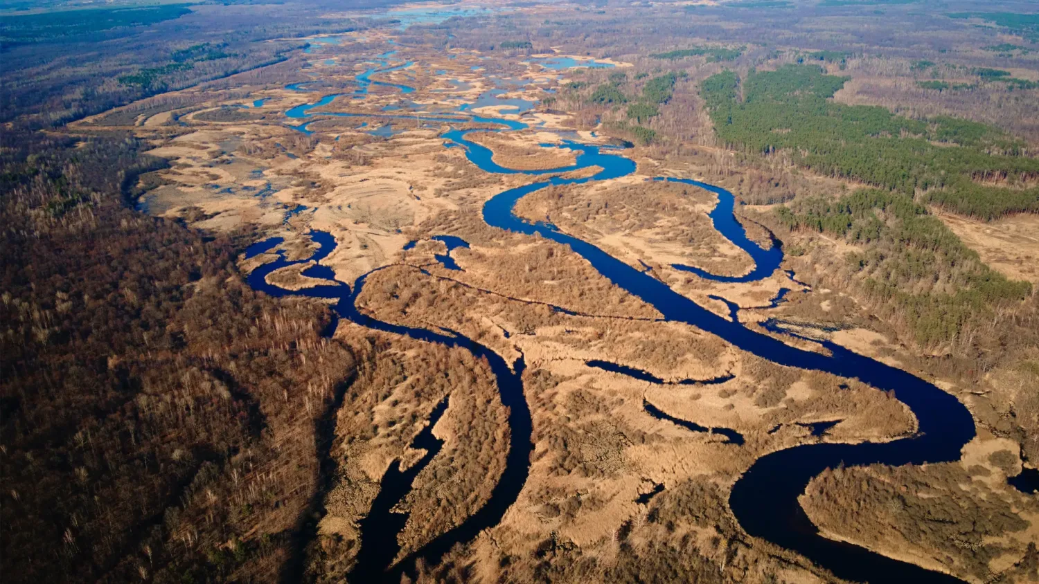
 From space observations to biomass mapping: the EvoLand approach
From space observations to biomass mapping: the EvoLand approach
Understanding the carbon balance of Europe’s ecosystems depends on one key question: how much biomass is stored in forests,...
 Weakly supervised learning for Earth observation: Land cover AI models from little to no human input
Weakly supervised learning for Earth observation: Land cover AI models from little to no human input
Weakly supervised learning is transforming Earth observation. EvoLand is pioneering AI models that turn vast streams of Copernicus...
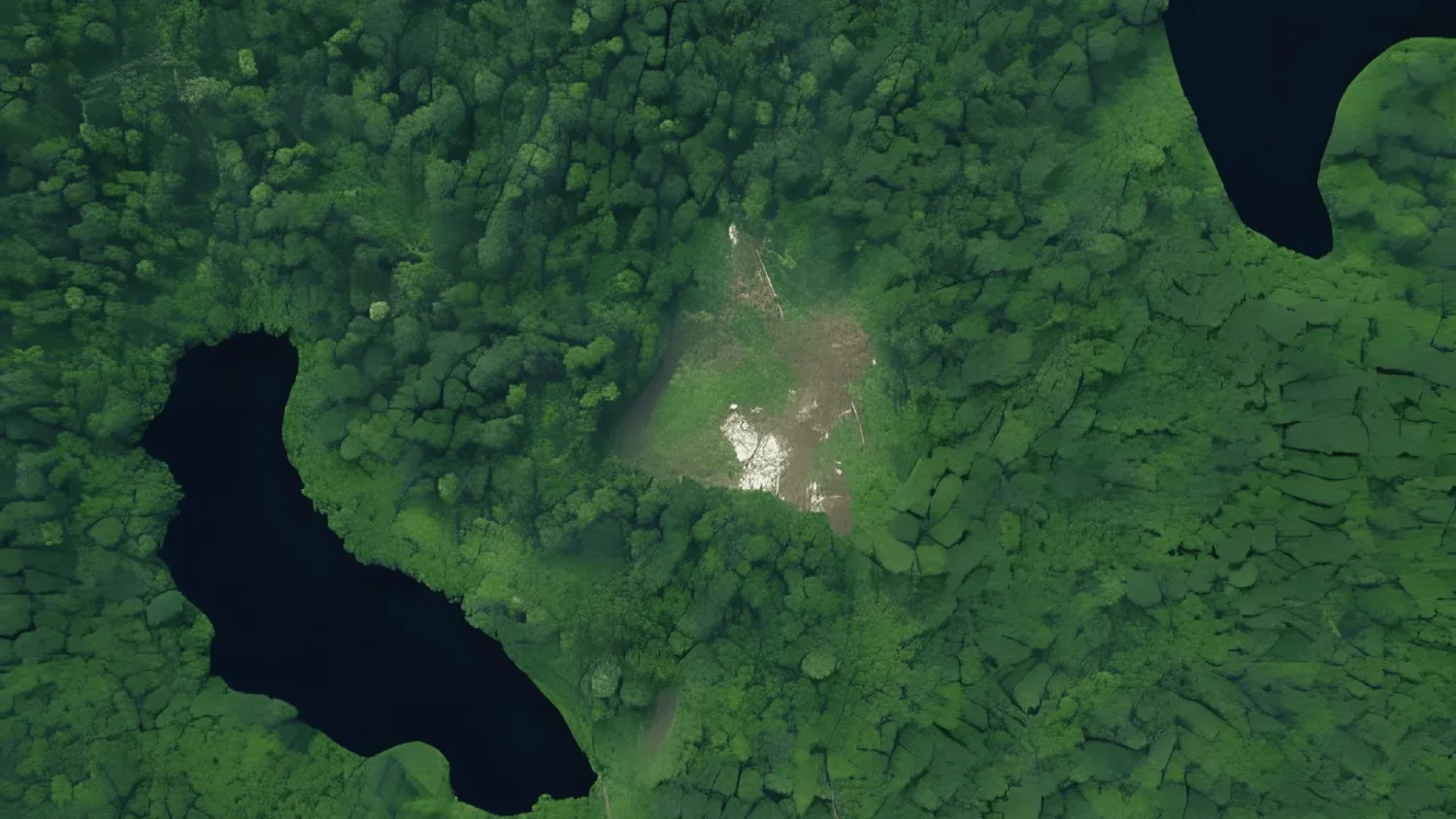
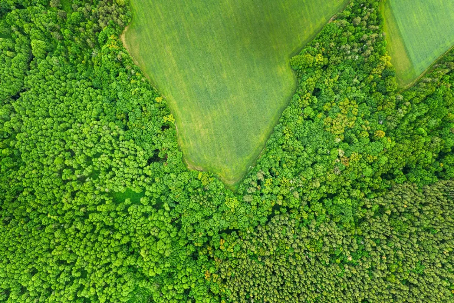
 Towards an operational pan-European tree type mapping
Towards an operational pan-European tree type mapping
Forests cover around 39% of the EU’s land area, acting as habitats, carbon sinks, and vital natural resources. Yet, Europe’s...
 SpectralEarth-MM: Towards a foundation model for next-generation land cover monitoring across spectra
SpectralEarth-MM: Towards a foundation model for next-generation land cover monitoring across spectra
The way we monitor our planet is changing. As satellite data becomes richer in diversity of spectral resolution, new approaches...
 Mapping what matters: Cover crop typing for smarter soil management
Mapping what matters: Cover crop typing for smarter soil management
As agriculture shifts toward more sustainable practices, cover crops, those planted between main crop seasons, play an increasingly...
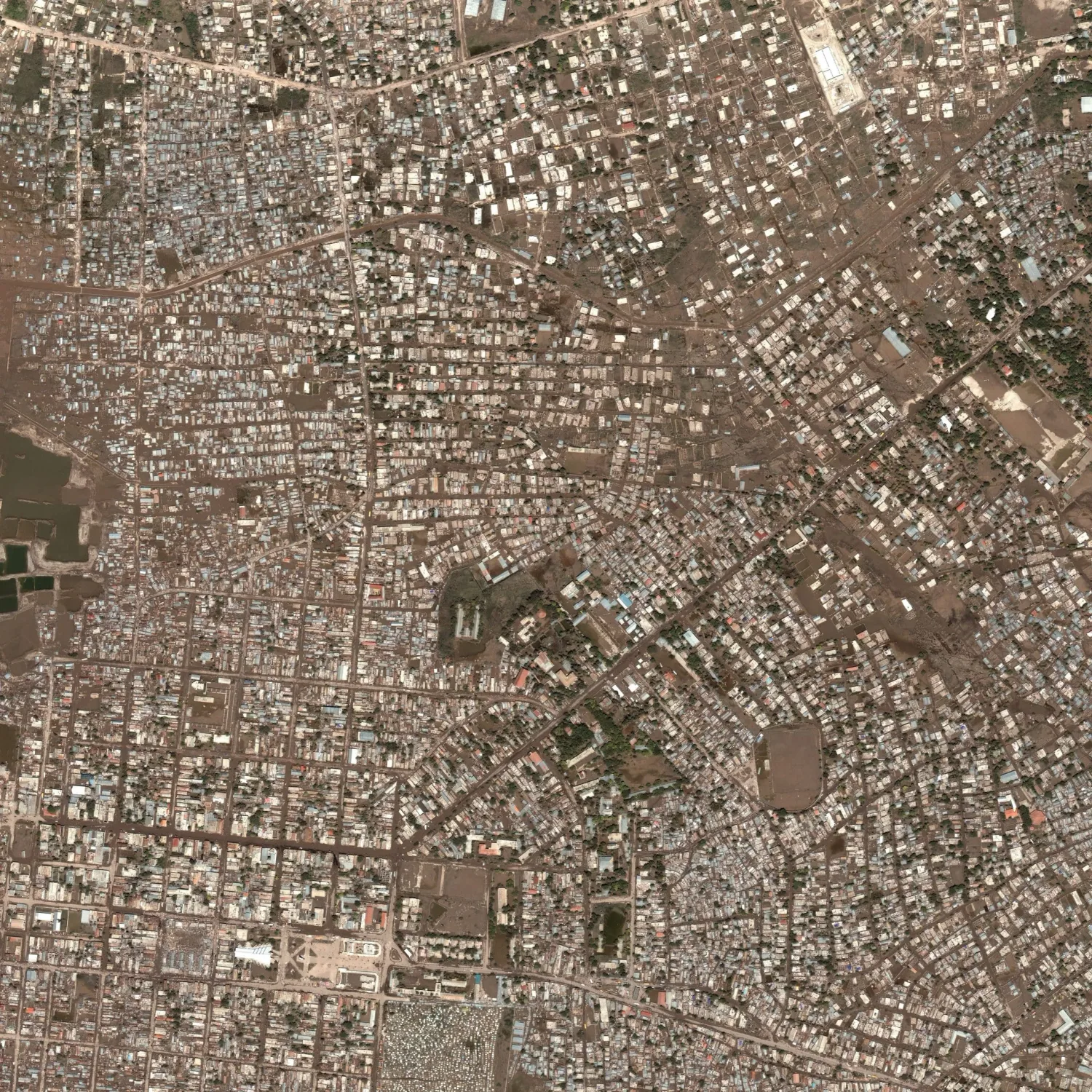
 Detecting change, supporting action: the Automated land use mapping of urban dynamics prototype
Detecting change, supporting action: the Automated land use mapping of urban dynamics prototype
Urban areas are transforming faster than ever before—new buildings rise, green spaces shrink, and land is reshaped to meet...
Multimedia Content
Brochure
Poster
Roll up banner
Scientific poster
EvoLand Brandbook
EvoLand final event banner
EvoLand Results Portal teaser video
Publications
Decoupling Common and Unique Representations for Multimodal Self-supervised Learning
Multilabel-Guided Soft Contrastive Learning for Efficient Earth Observation Pretraining
CromSS: Cross-modal pretraining with noisy labels for remote sensing image segmentation
SpectralEarth: Training Hyperspectral Foundation Models at Scale
Multispectral to Hyperspectral using Pretrained Foundational model
Temporal Attention Multi-Resolution Fusion of Satellite Image Time-Series, applied to Landsat-8 and Sentinel-2: all bands, any time, at best spatial resolution
Revisiting remote sensing cross-sensor Single Image Super-Resolution: the overlooked impact of geometric and radiometric distortion
Press releases
From research to results – EvoLand concludes its three-year journey in land monitoring innovation with an open invitation to all
EvoLand launches its second development phase after a successful mid-project meeting
EvoLand sets off to develop new Copernicus Land Monitoring Service
Newsletter
Stay current! Subscribe to our EvoLand newsletter!